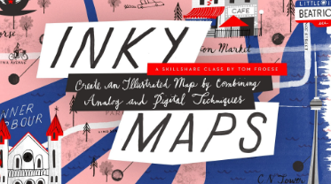
Inky Maps! Illustrate a Beautiful Map Using Digital and Analog Media
Release date:2021
Author:Tom Froese
Skill level:Intermediate
Language:English
Exercise files:No
People love maps! With super precise, digital maps like Google Maps, we crave more than ever ones with a more human touch. Instead of helping us find our way, illustrated maps tell us a story. They guide us through a place emotionally rather than physically. But we can’t all be mapmakers, can we? Of course we can! No one is better poised to tell the story of your most important places than you. If you’ve ever wanted to learn how to create an illustrated map, this class will be perfect for you. Illustrator Tom Froese is known for his whimsical, energetic illustrations that combine digital techniques with physical textures, linework and hand lettering. Join him as he shows you, step by step, how to illustrate a map of your hometown or favourite city building on the techniques in his popular class, Inky Illustrations. Along the way, you’ll learn how to apply his techniques to more detailed and advanced illustrations. You’ll pick up some new skills in brainstorming and researching for map illustrations, working with colour, and learn a ton of what goes into choosing what goes into a successful, charming map illustration. As always, you’ll get a very detailed account of Tom’s process, as he guides you through many decisions along the way.


 Channel


