Ad Clicks : Ad Views : Ad Clicks : Ad Views : Ad Clicks : Ad Views : Ad Clicks : Ad Views :
Oh Snap!

It looks like you're using an adblocker. Adblockers make us sad. We use ads to keep our content happy and free. If you like what we are doing please consider supporting us by whitelisting our website. You can report badly-behaved ads by clicking/tapping the nearby 'Advertisement' X text.

Learning Aerial Photography with Drones

/

Release date:2020, June 7

Author:Richard Harrington, Francis Torres

Skill level:Beginner

Language:English

Exercise files:Not Provided

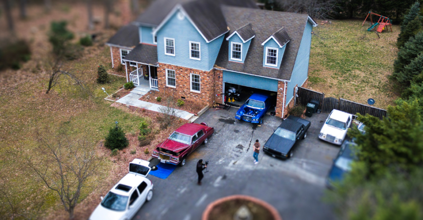
Add a new perspective to your photography by taking to the skies to capture striking aerial images. In this course, Richard Harrington and Francis Torres explain how to use a quadcopter, drone, or UAS to take aerial photographs and panoramas. They cover preflight best practices, location scouting techniques, and shooting strategies for both single-image stills and multi-image panoramas. Plus, they demonstrate post processing techniques for aerial images in Lightroom, Photoshop, and PTGui. With these techniques in your toolkit, you’ll be able to create beautiful artwork for your office, capture a remodel or construction project, or shoot dramatic natural vistas from a bird’s eye view.

Topics include:
Understanding your country’s regulations
Securing permission from property owners
Taking your drone on a commercial airline
Understanding weather conditions that affect flight
Essential flight techniques for photographers
Monitoring remotely
Shooting raw photos
Establishing a landing zone
Shooting panoramic and HDR images from a drone
Developing HDR images

Watch online or Download for Free

01. What youll learn in this course
02. Who is this course for
03. Understanding your countrys regulations
04. Respecting no-fly zones
05. Securing permission from property owners
06. Flying with a two-person team
07. Making sure your drone is registered
08. Taking your drone on a commercial airline
09. Understanding weather conditions that affect flight
10. Takeoff and landing strategies
11. Hovering in place
12. Preflight checklist
13. Positioning the camera
14. Composition strategies
15. Monitoring remotely
16. File format and recording options
17. Choosing the right exposure
18. Creating a custom lens profile for your camera
19. Shooting with filters
20. When to land
21. Establishing a landing zone
22. Essential developing strategies for photos in Lightroom
23. Removing lens distortion
24. Enhancing the image with filters
25. Sending the image to Photoshop
26. Noise reduction and sharpening
27. Configuring your drone for panoramic images and essential apps
28. Shooting strategies for panoramic images
29. Essential strategies for developing panoramic images in Lightroom
30. Removing lens distortion (1)
31. Enhancing images with filters
32. Noise reduction and sharpening for panoramic images
33. Merging tough panoramic images in Photoshop
34. Merging 360 panoramic images in Photoshop
35. Merging 360 panoramic images in PTGui
36. Adding 360 sky in Photoshop
37. Configuring your drone for HDR images
38. Shooting strategies for HDR images
39. Essential strategies for developing HDR images in Lightroom
40. Removing ghosting from HDR images
41. Noise reduction and sharpening for HDR images
42. Enhancing images with filters (1)
43. Merging tough HDR images with Photomatix Pro
44. Merging tough HDR images with Aurora HDR
45. Next steps


Join us on
  Channel    and      Group

  • Facebook
  • Twitter
  • Google+
  • Linkedin
  • Pinterest

Leave a Comment

Your email address will not be published. Required fields are marked *