GIS Data Analysis with ArcGIS Desktop
Release date:2020, June 8
Author:Mustapha ELOUADDANY
Skill level:Beginner
Language:English
Exercise files:Yes
The preparation of data and the constitution of the database is an essential stage of GIS projects. In most cases, this is the most delicate and costly phase in terms of time and investment. Particular attention is therefore paid to this step to meet the needs of structuring and enhancing data. Indeed, without data the GIS solution will have no importance because the outputs and the results of the system largely depend on the quantity and the quality of the data integrated in the database. For this, the work of structuring the GIS database from all the data available at the level of “Ministry of cohesion of the territory” constitutes the primary need and a sine qua non condition for the success of the GIS project. .
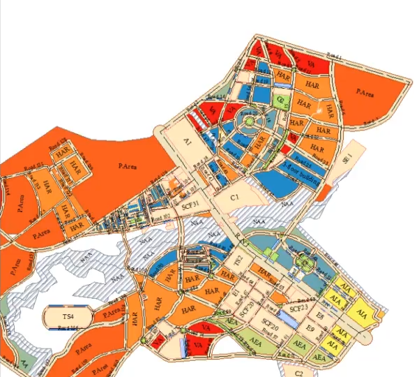
It is a GIS project on the constitution and structuring of the GIS database of “Ministry of cohesion of the territory”. It thus covers the operations of data acquisition, preparation and integration. Thus, the missions of this project are:
• Data acquisition and preparation
• Migration and structuring of data in GIS format (conversion of data from CAD format (AutoCAD) to GIS format).
• Using spatial analysis.


 Channel


Any chance of more ARCGIS courses?