Ad Clicks : Ad Views : Ad Clicks : Ad Views : Ad Clicks : Ad Views : Ad Clicks : Ad Views :
Oh Snap!

It looks like you're using an adblocker. Adblockers make us sad. We use ads to keep our content happy and free. If you like what we are doing please consider supporting us by whitelisting our website. You can report badly-behaved ads by clicking/tapping the nearby 'Advertisement' X text.

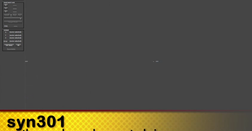
SYN301 – SynthEyes Advanced Survey Techniques

/

Release date:2013, October 12

Author:VICTOR WOLANSKY

Skill level:Beginner

Language:English

Exercise files:Yes

In this advanced course, Victor Wolansky will share advanced techniques on how to use survey information for a variety of purposes. This includes how to match cameras to real world coordinates, cross link tracking points from multiple cameras for better precision, and using survey data from Survey Stations. This is information which is very precise, so much so that you can force SynthEyes to constrain to those points to even solve shots without any motion.

Later we will export these shots with multiple cameras to 3DS MAX and keep it all in real world units to match purchased or modeled to real sizes. We will also take a look the new distortion / undistortion workflow in the app as well as examine how to use LIDAR scans in SynthEyes and constrain tracking points to the point could.

Quite a few new very useful features where included in SynthEyes in the last versions, and the “Phases” is anptjer invaluable tool we are going to be using along the course.

Table of Contents

CLASS 1
Tracking of camera along a road with surveyed information, alignment and scaling to real world coordinates.
CLASS 2
Tracking of two moving cameras Part 1. With survey information and 2 static cameras, different resolutions and different aspect ratios, one is a panorama. Crosslink of all the cameras.
CLASS 3
Tracking of two moving cameras Part 2.
CLASS 4
New undistortion / distortion with After Effects.
CLASS 5
Importing of all these cameras, maintaining real size measurements, aligning with a road built based on the survey data. Some techniques in MAX / Final render to match lighting, catch shadows, reflections, etc.
CLASS 6
Using 3D objects to assist tracking, having geometries to constraint the trackers makes things easier.
CLASS 7
LIDAR recommendations and learning new ways to navigate the software, getting comfortable with perspective navigation is a must to deal with huge sets.
CLASS 8
LIDAR Tracking two shots, a simple one and one that is pretty complicated.
CLASS 9
LIDAR finishing shots, using shadow catchers with test objects given our ground is lower than zero.
CLASS 10
Completing the difficult track from the previous lesson.

  • Facebook
  • Twitter
  • Google+
  • Linkedin
  • Pinterest

Leave a Comment

Your email address will not be published. Required fields are marked *